
Nowadays many PCT thru-hikers have smartphones and Halfmile’s PCT app. With this app you can find the trail, stay on the trail, look up distances to destinations and determine the total elevation changes to those destinations. I double down with an app called Gaia GPS. Between the two I have virtually every bit of geographic information I could want. As a former Geographic Information Systems (GIS) specialist I’m blown away by Halfmile’s thorough work and data. Getting lost is impossible, unlike 1977 when the Wilderness Press guidebook advised users they would get lost for 200-300 miles.
I can attest to that based on this last section from Sierra City to Belden. The morning after our challenging climb out of Sierra City I was the last one to leave camp. The tenderfoots Howie and Dan needed to get an earlier start with our supreme navigator Ken; I could break down camp in my leisure. Though Savitt had the only other set of maps and was still apart from the group all I needed to do was just follow my compadres footsteps in the snow. After all, we were the only folks out there for our first three days of hiking.
Around lunchtime I came to a place where the footprints went in three different directions. I ate lunch while puzzling over which footprints were most recent. The ones I chose brought me down to Gold Lake, which I thought odd. It was unlike Ken to bail or make a mistake like that. I suspected I must have followed Savitt’s footprints in reverse as he found a shortcut to rejoin the group. I started trudging up the snow towards the ridge again when I paused (steep ascents in snow are good for pausing) to consider what I would do if I encountered branching footprints again. I now must have been several hours behind the others; anything could happen and I had neither map nor guidebook.
I went back to Gold Lake and talked to a fisherman. He witnessed three backpackers come down from the ridge and continue on the road from Gold Lake. I followed in hot pursuit.
As it turned out I was following the footprints of the thru-hikers Dana, Mark and Kyle, who we did not know existed yet. Ironically, the same people who celebrated how true we were to following the trail that year were the cause of me taking a road alternative for that section. They also caused me great consternation when I put in a 30 mile day on our sixth day out to catch up, only to find out from townsfolk that I merely kept pace. How could two tenderfoots keep up such a pace early on?! Little did I know I was chasing thru-hikers who already had put in over a thousand miles.
If I had Halfmile’s app and smartphone at the time such a misadventure never would have happened … more the pity! Misadventures provide us some of our most clear and lasting memories that shape our lives.q I paraphrase a quote from the book On the Loose: “Adventure is not found in the guidebook; beauty is not found on the map.”
Beyond that, finding your way with map and compass is gratifying. Ken usually led the way on the PCT in 1977, but I found abundant opportunity to prove that claim when I thru-hiked the Continental Divide Trail in 1985. Yet here I am, the main navigator for our little group, accomplished with orienteering, using Halfmile’s app and a smartphone.
As I got a chance to see where the real PCT went over this past stretch I sometimes marveled to myself: “Good Lord! How did Ken figure it out through this maze of mountains in the snow?!” At one point I spent the mere few minutes it took to keep us on track using Halfmile’s app when Cindy said: “Thank you for helping me do this.” Her appreciation melted me of course, yet the back of my mind was chuckling: “If she only knew how easy this now is.”
This gets back to the question Kermit the trail angel recently asked me about hiking the PCT now, with all the increased traffic from the book “Wild,” and the ease of hiking with apps and guidebooks sharing where you can find kindness. I don’t blame anyone for making their life easier, I’m doing it myself, but I can’t help but feel that thru-hikers these days are missing out on what were once some of the most gratifying elements of thru-hiking.
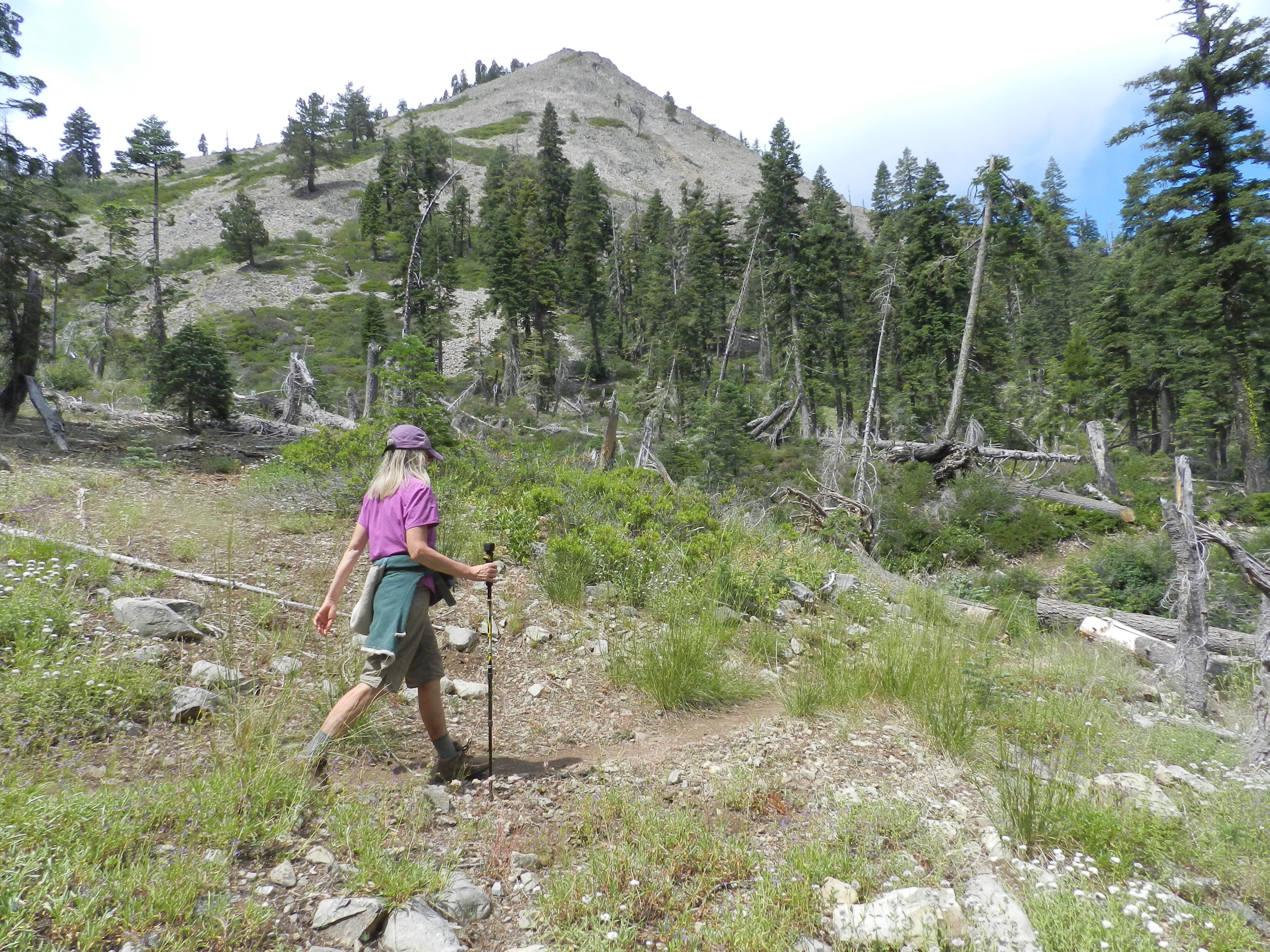
Great pic of Cindy….Keep them coming
All Love
Kim
Great fun to read your progress.
Thanks. We’ll be hiking in Washington during August. Maybe we’ll be able to connect again?